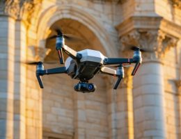
Drones equipped with high-resolution cameras are revolutionizing how stone contractors, architects, and designers capture and model building facades, quarry sites, and historical stone structures. UAV photogrammetry transforms hundreds of aerial photographs into precise 3D models and measurements, eliminating the need for scaffolding, manual measurements, and dangerous climbing while delivering millimeter-level accuracy that traditional surveying methods cannot match at comparable costs.
This technology solves critical challenges in natural stone projects: documenting existing conditions for restoration work, measuring complex …